




NAIROBI, Kenya — The Kenya Forest Service (KFS) has launched a technology-driven tool to enable more frequent and cost-effective monitoring of tree cover across the country.
The tool was developed through a collaboration between KFS and the Japan International Cooperation Agency (JICA) under the SFS-CORECC Project, and was piloted in Makueni County using Sentinel-2 satellite imagery and machine-learning techniques.
KFS said the technology will provide more regular information on changes in tree cover, supporting evidence-based decisions on forest conservation, restoration and tree-growing programmes.
Makueni Pilot Achieves More Than 80pc Accuracy
The pilot recorded more than 80 per cent accuracy in mapping vegetation and land cover.
According to the assessment, tree-cover mapping achieved 84.4 per cent accuracy, while land-cover mapping recorded 81.1 per cent accuracy.
The 2026 assessment estimated that tree cover in Makueni stood at 14.72 per cent, while forest cover was estimated at 6.83 per cent.
The results demonstrate the potential of combining satellite imagery with machine-learning approaches to generate spatial information for forest and tree-resource monitoring.
Lemarkoko Receives New Monitoring Tool
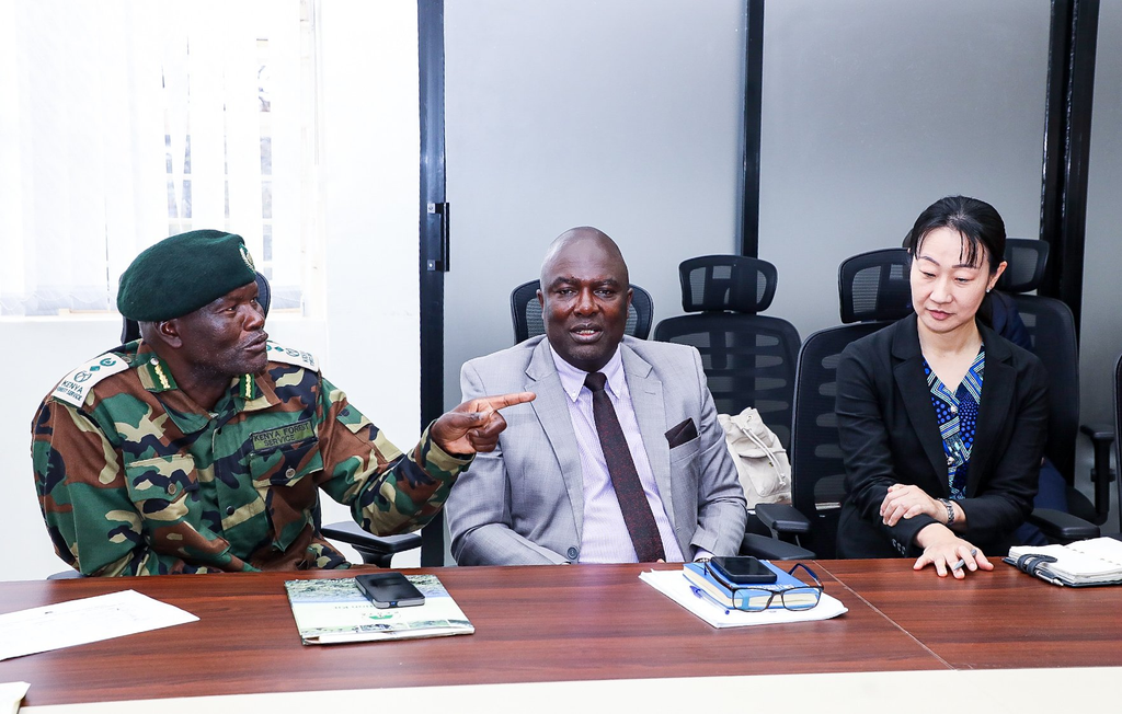
KFS Chief Conservator of Forests Alex Lemarkoko was presented with the tool by officials from the Forest Survey and Information Department at KFS headquarters in Nairobi.
The technology is expected to strengthen the service’s capacity to track changes in tree cover without relying exclusively on periodic nationwide assessments.
KFS said the approach will make it possible to identify changes more regularly and provide information that can be used to guide interventions at local and national levels.
Tool to Complement National Forest Assessments
The new system will complement periodic national assessments, including the 2021 National Forest Resources Assessment, which provides broader information on Kenya’s forest and tree resources.
Unlike assessments conducted at longer intervals, the satellite-based tool is designed to support more frequent monitoring of changes in tree cover.
This can help forest managers identify areas requiring conservation, restoration or additional tree-growing interventions and track changes over time.
KFS Expands Use of Remote Sensing
The initiative forms part of KFS efforts to expand the use of remote sensing, geospatial technology and machine learning in managing Kenya’s forest and tree resources.
Satellite imagery can provide information across large areas while reducing some of the costs and logistical challenges associated with conventional field-based monitoring.
The integration of machine-learning techniques is also expected to support the analysis and classification of land-cover data, giving forest managers more timely spatial information for planning.
Technology to Support Forest Restoration
KFS said the new monitoring capability will strengthen evidence-based forest management by providing timely information on the status and distribution of tree cover.
The data can support decisions on where conservation and restoration efforts are needed, while also helping track the impact of tree-growing initiatives.
The Makueni pilot provides a test case for the technology’s application, with KFS expected to use lessons from the exercise as it strengthens digital monitoring of tree and forest resources.